Quick info
- Very interesting line that finds an unlikely way through a steep and hard wall.
- 5 pitches / 160 meters or 4 pitches / 110 meters if pitch 1 is skipped
- 4b / 4b / 4c / 5a / 5c
- Fully trad / alpine. Only occasional fixed gear at belays.
- Walk off via Castell de Alaro and main hiking trail.
General
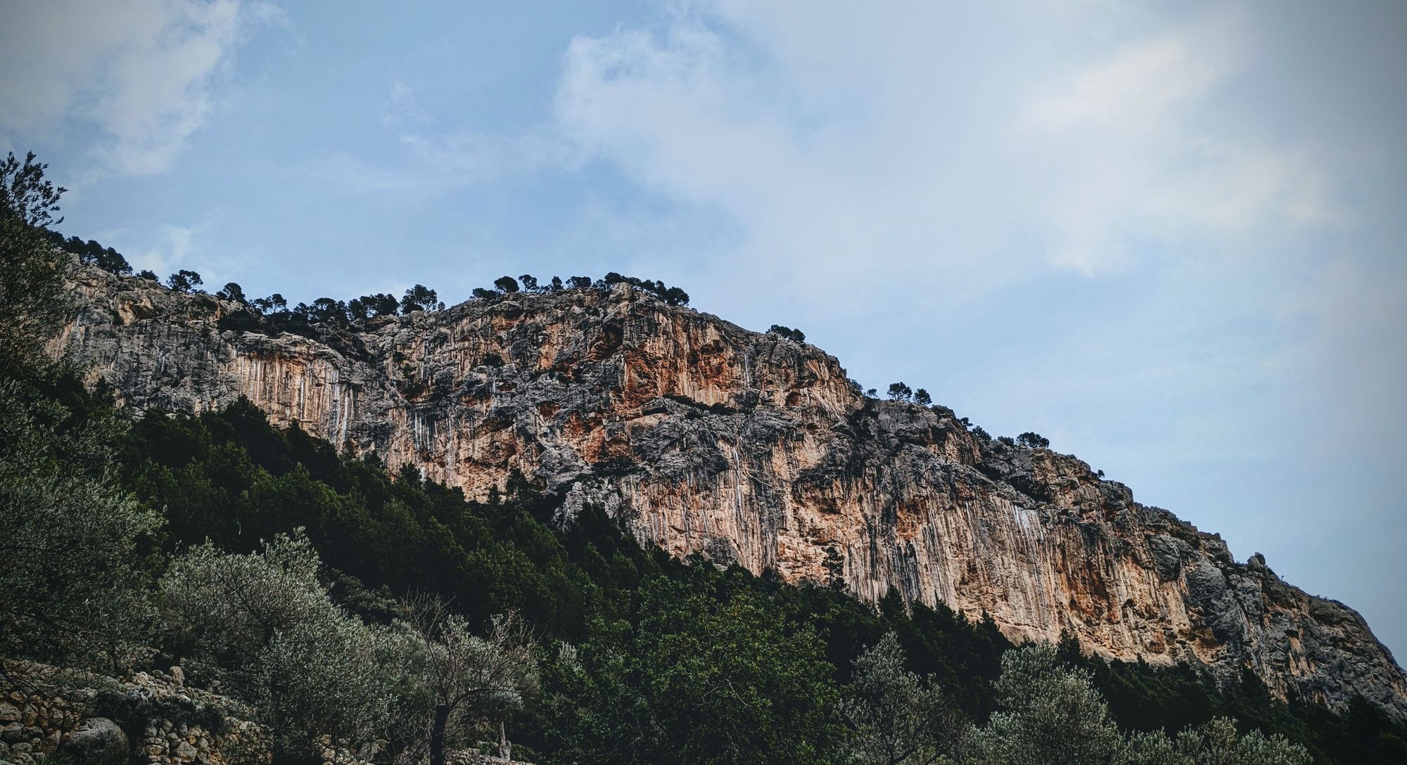
The Puig de Alaro (817 meters above sea level) is one of the two table mountains sitting at the edge of the Tramuntana and looking over the flatter central part of the island. The Puig has 200 meter high sheer cliffs to all sides and looks like a natural fortress from afar.
Humans have been using this natural defense since the Bronze Age and it has played a major role in the moorish rule of Mallorca and there are quite a few remains, including the gate tower, of the former castle still standing.
Today the hike up the well kept dry stone way up to the castle is popular among locals and tourists alike who come here for the fantastic views into the Tramuntana mountains, the whole center of the island and the city of Palma.
The same wall that is home to the route described here also has some very high quality sport climbing routes with fantastic tufa features of mostly high difficulty.
You can find a tour report on this climb here.
Logistics
Drive to the town of Alaro and look for the signs to the Castell d'Alaro and the restaurant Es Verger. The road will become very small and broken but continue on. Two thirds of the way to the restaurant there are a few parking spots at the right side of the road. The best parking spot is right before a fork in the road that allows you to turn around to drive back down later.
The restaurant Es Verger is frequented by locals and does have a fantastic panoramic view. You might also decide to park there and grab a bite after the climb.
Up on the table top mountain a nice refuge (which you will pass on the descent from the climb) is open almost all year round and serves snacks and great coffee.
Approach and descent
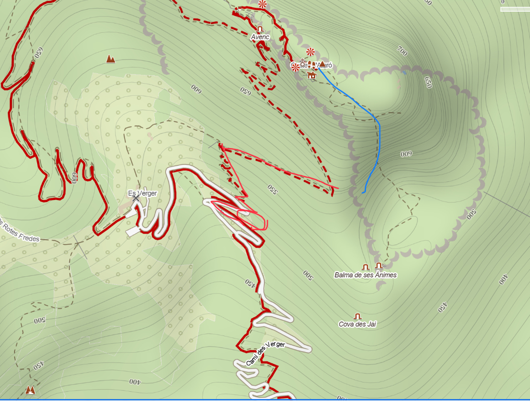
From the parking on the roadside walk up the road a few bends and find the hiking trail leading up to the castle (clearly signed). After 10-15 min of steep walking you reach a left turn. Step of the trail to the right and find the small dry stone wall leading to a ridge - the climb starts here.
For the descent make your way through the trees and rocks until you find a path marked by cairns. Follow the path left and uphill until you reach the building (including the bar/cafe) in about 10 min. For the final way back to the car follow the main hiking trail out of the castle.
Technical information
- The climb is separated into five pitches totaling 160 meters of climbing. However the first pitch can be skipped by scrambling up a vegetated canal left of the base of the climb. Skipping the pitch might be advisable as the rock quality on it is very poor and the climbing uninspired.
- None of the pitches are bolted. Belays are either a single bolt or some older ropes threaded through rock features. There are a few pitons and bolts in key places on the route. Good natural protection is possible almost everywhere.
- The route is next to bolted lines which are much harder. Beware not to be drawn into these.
- Gear: 60 meter single rope (retreating to the base of pitch 2 is possible with one rope), 8 quick draws, slings, set of cams and nuts especially for pitch 5.
- East facing wall. Belays are very sheltered and in the shade.
Climbing and pitches
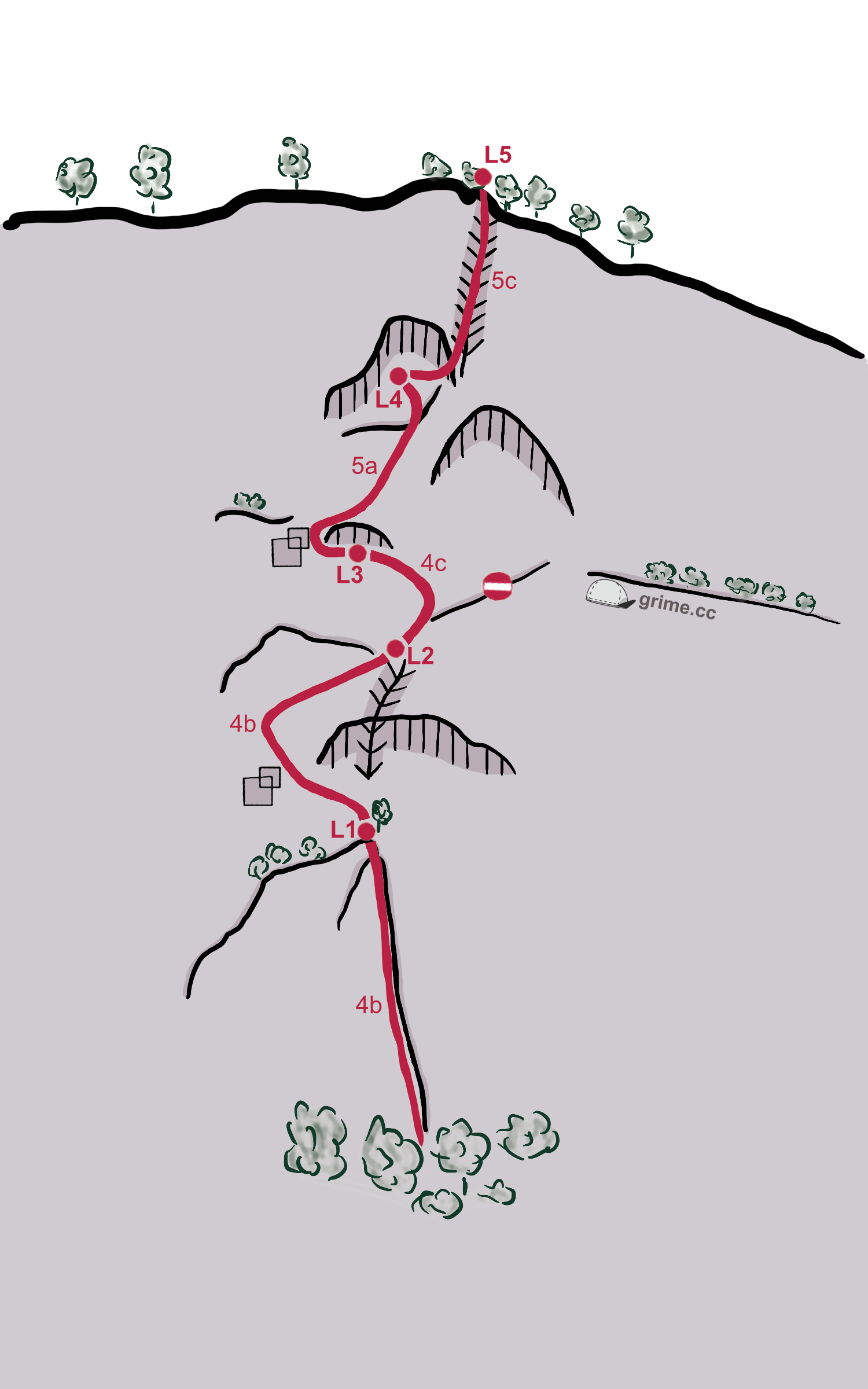
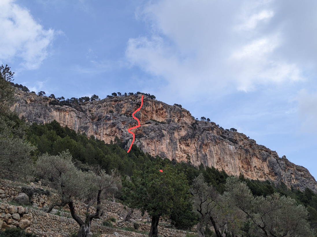
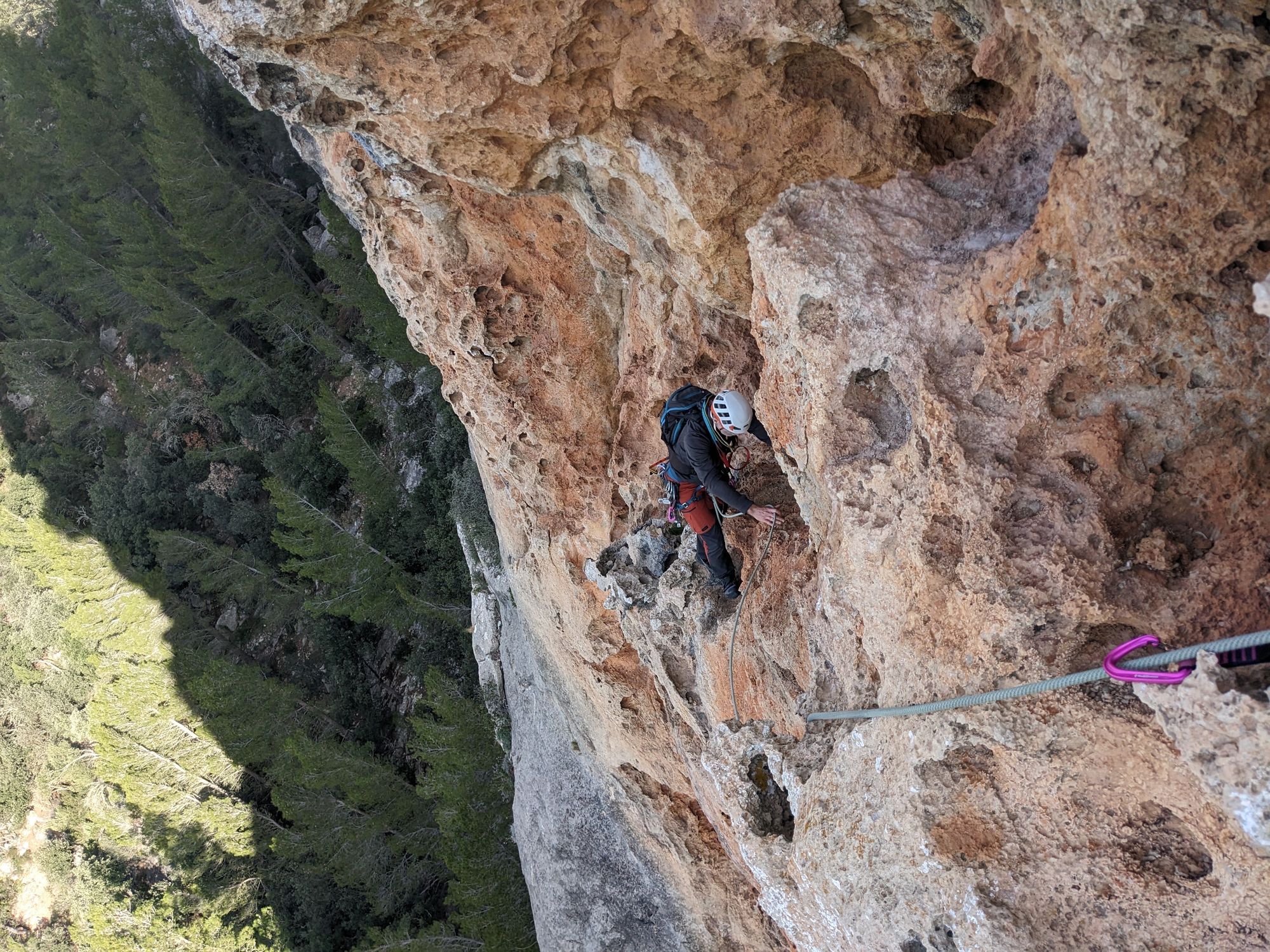
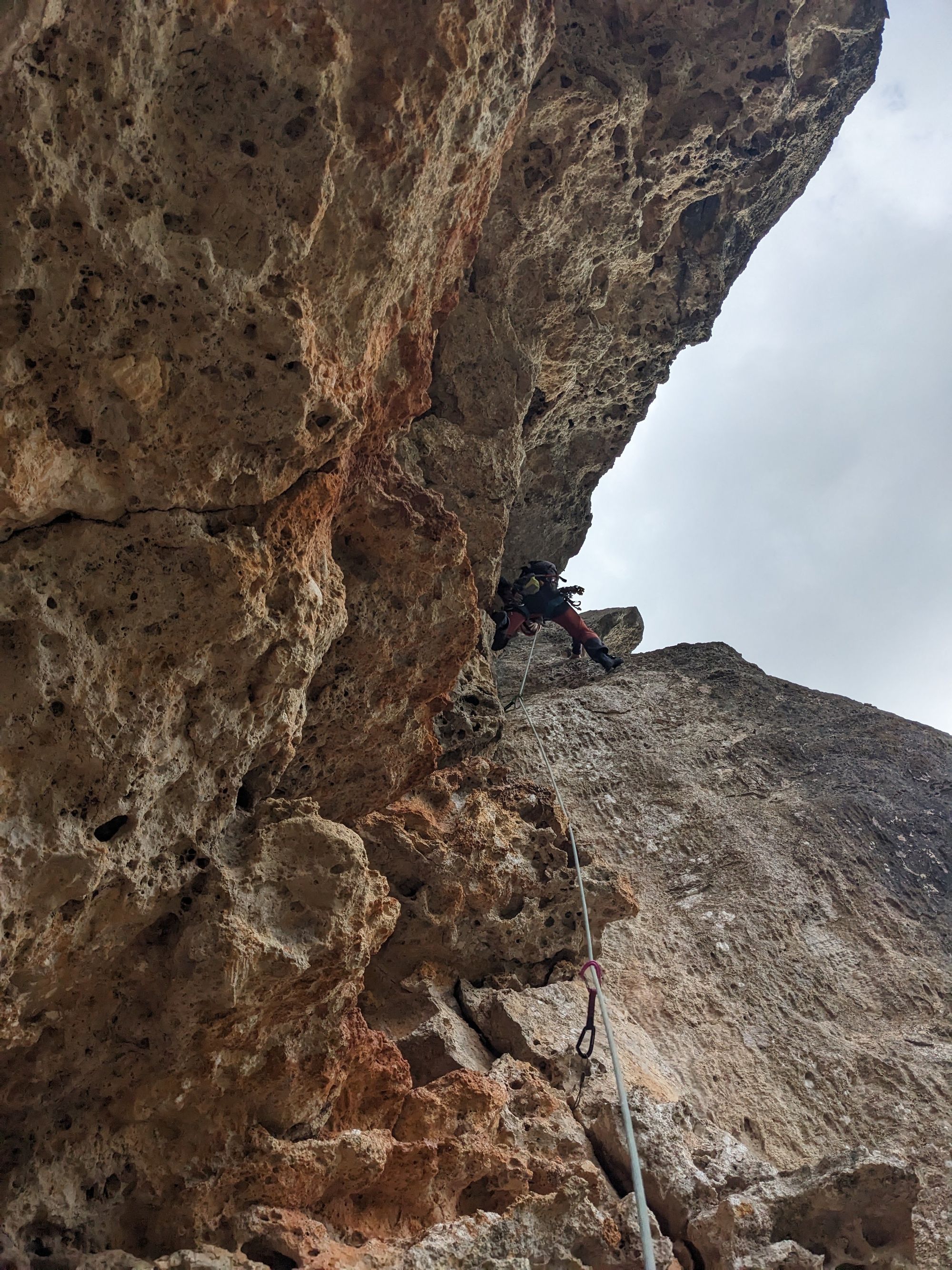
The route finds a unique line of moderate difficulty up a steep wall by weaving in and out of several hollows and caves. The climbing is mostly on orange and very featured rock.
Depending on your level of confidence and skill in alpine climbing the route will take anything between 1,5 to 3 hours.

