
Gränna to Hjo
This day was spent circumnavigating the southern half of Vättern following more or less the route of the Vätternrundan, a massive yearly cyclosportive going around the complete lake. As it turned out the day was quite eventful.
The first part of the ride brought us to the neighboring towns of Husqvarna, home of chainsaws and motorbikes, and Jönköping, former matchstick capital of the world. By coincidence the most southern tip of the lake was also the halfway point of the route we had planned beforehand.
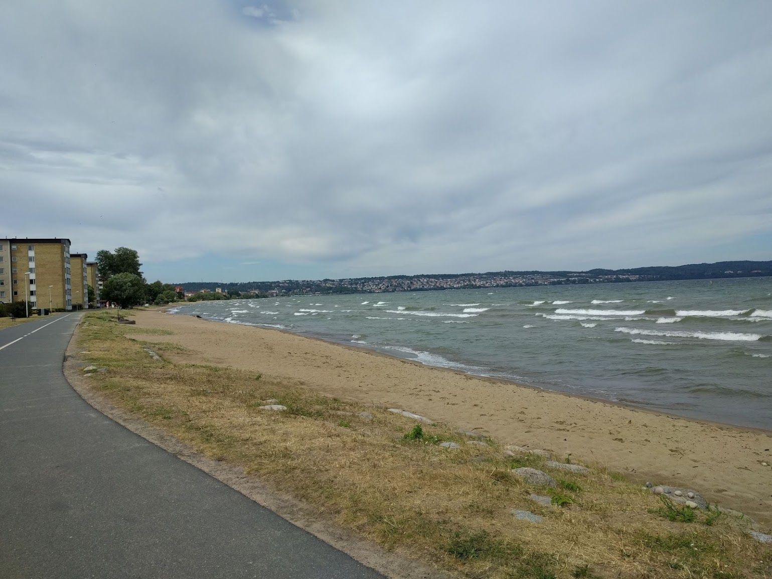
Leaving Jönköping we headed north along the shore of the lake which acts more like a small ocean with waves and even small beaches. Our typical backroad route took us away a little bit from the lake and right onto the track of a road bike race - which we of course watched part of yelling “Venga! Venga!” etc. while eating cookies.
The small town of Hjo was put on our route for a particular reason: It is the home of an old friend who some 20 years ago helped my family (me being a child at that point) out of some vehicle related trouble. Also: He makes great cake...
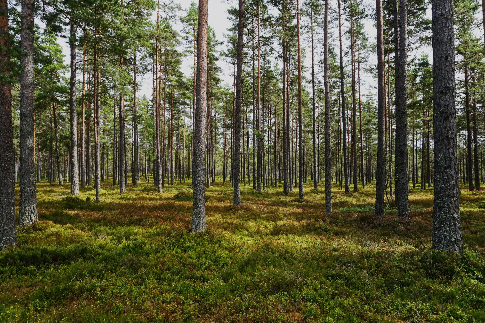
Later that evening we left Hjo to find a camp spot which turned out to be a bit tricky. After going down many small forest roads and not being happy with what we found, we took a final stab at it by riding on a few kilometers to what was marked as a “shelter” on Openstreetmap. After climbing a barrier and riding 500m on a very small track we found it: A shelter close to a small creek with a fireplace in front of it. So day ended with a short bath in cold water and another generous portion of Ravioli.
There are two lessons to be learned from this: Firstly Openstreetmap is awesome, secondly do not settle on a camping spot too quickly (this would stay true for the later part of this trip as well). We have an article on the tools and methods we use for planning here.
Click here to get back to the introduction to this trip!